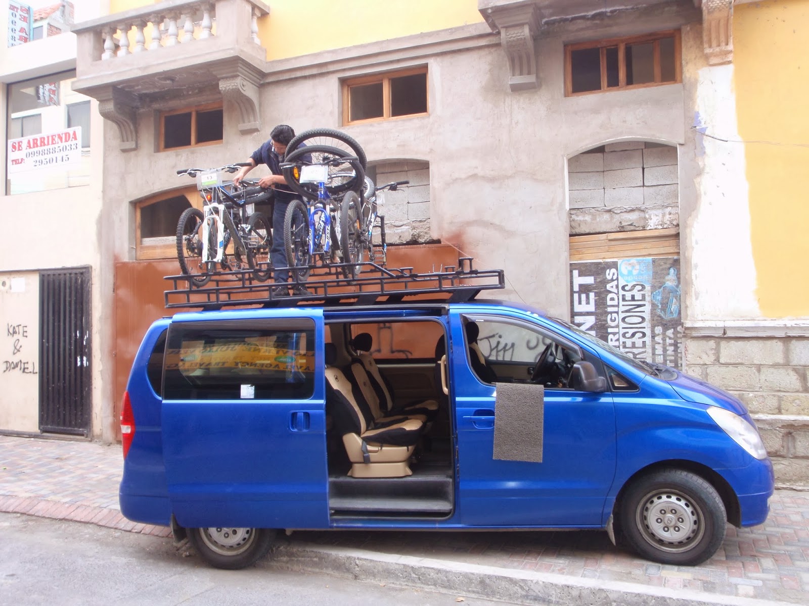
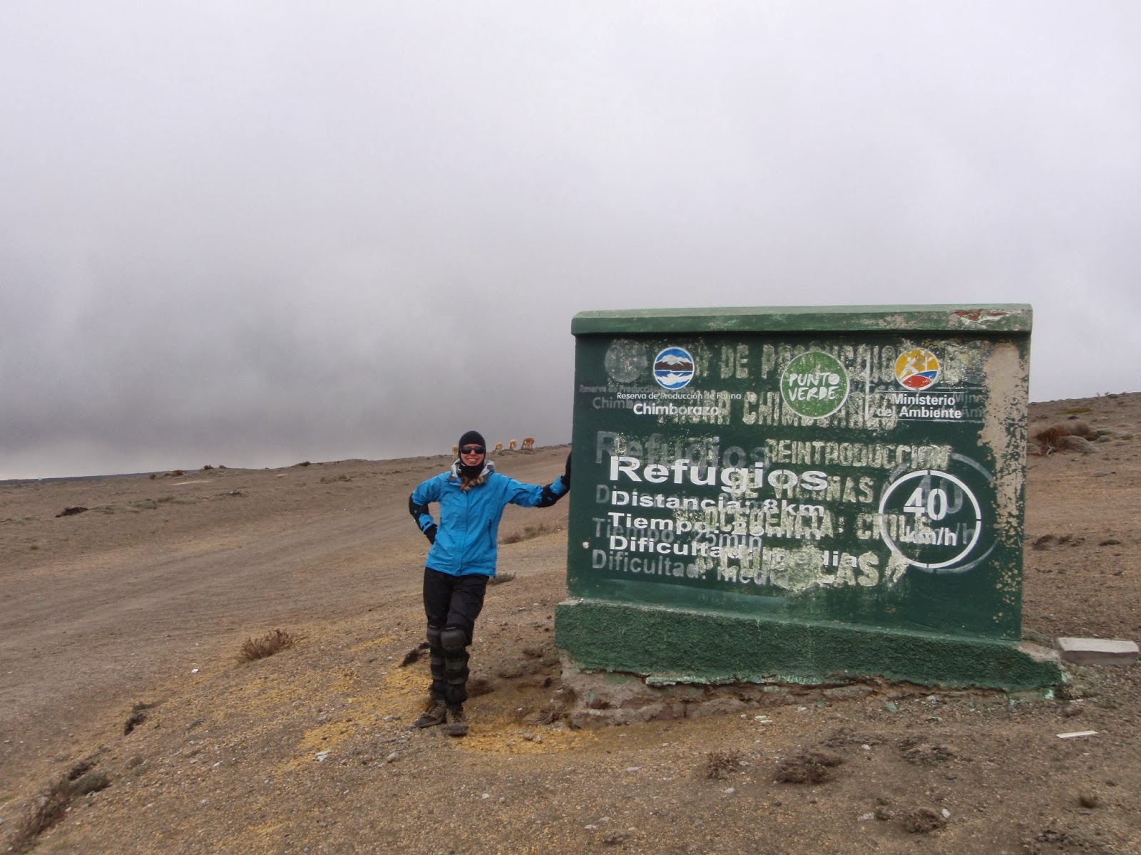
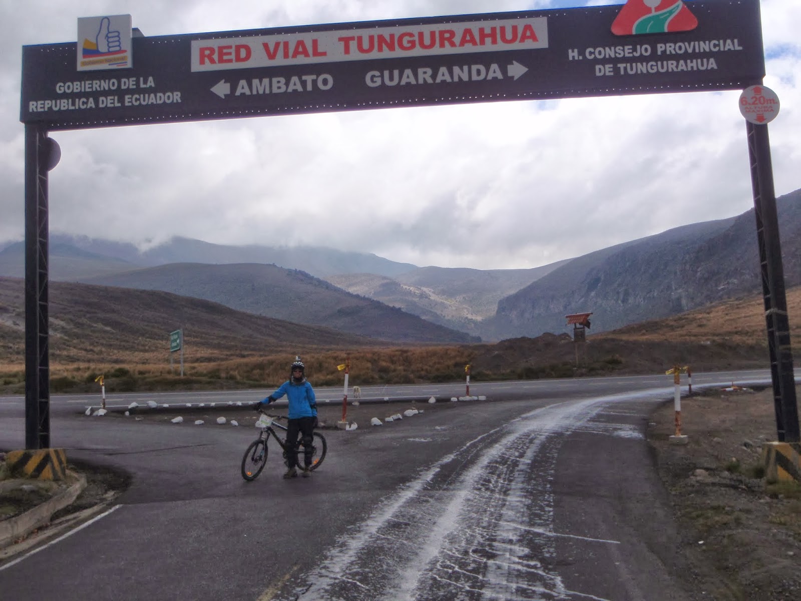
A ~58 km ride down the Chimborazo volcano and along the former trans-American highway, passing by Llamas, Alpacas and Vicuñas and through remote indigenous communities!!
GoPro videos of the ride to follow…
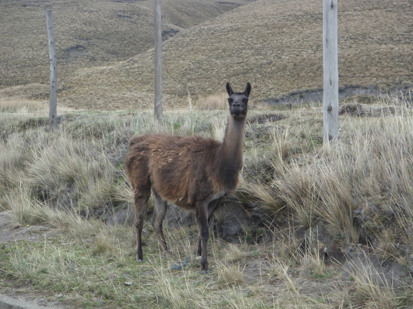
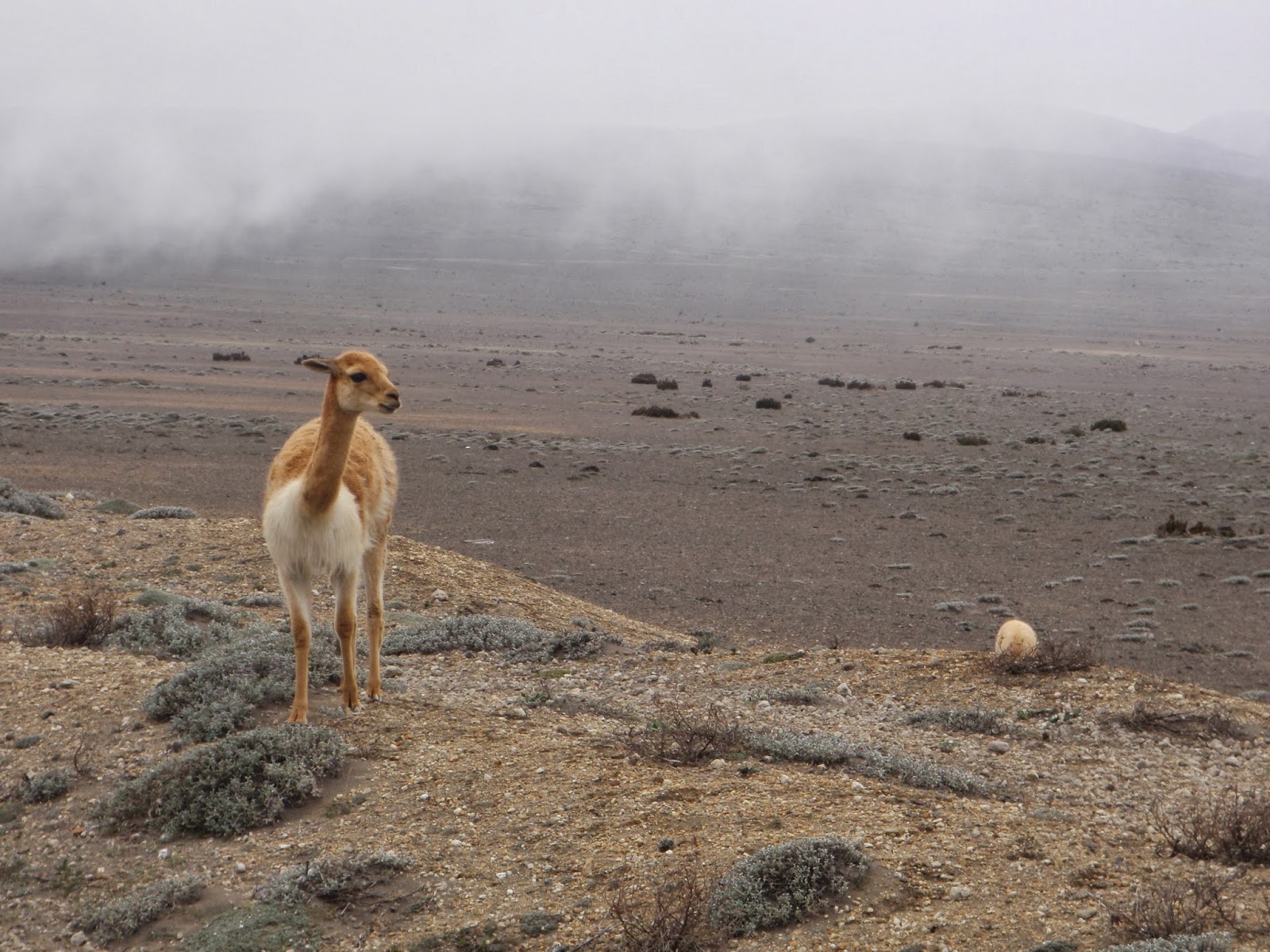
Llama!
Exposure of the tephra from previous eruptions! 🙂

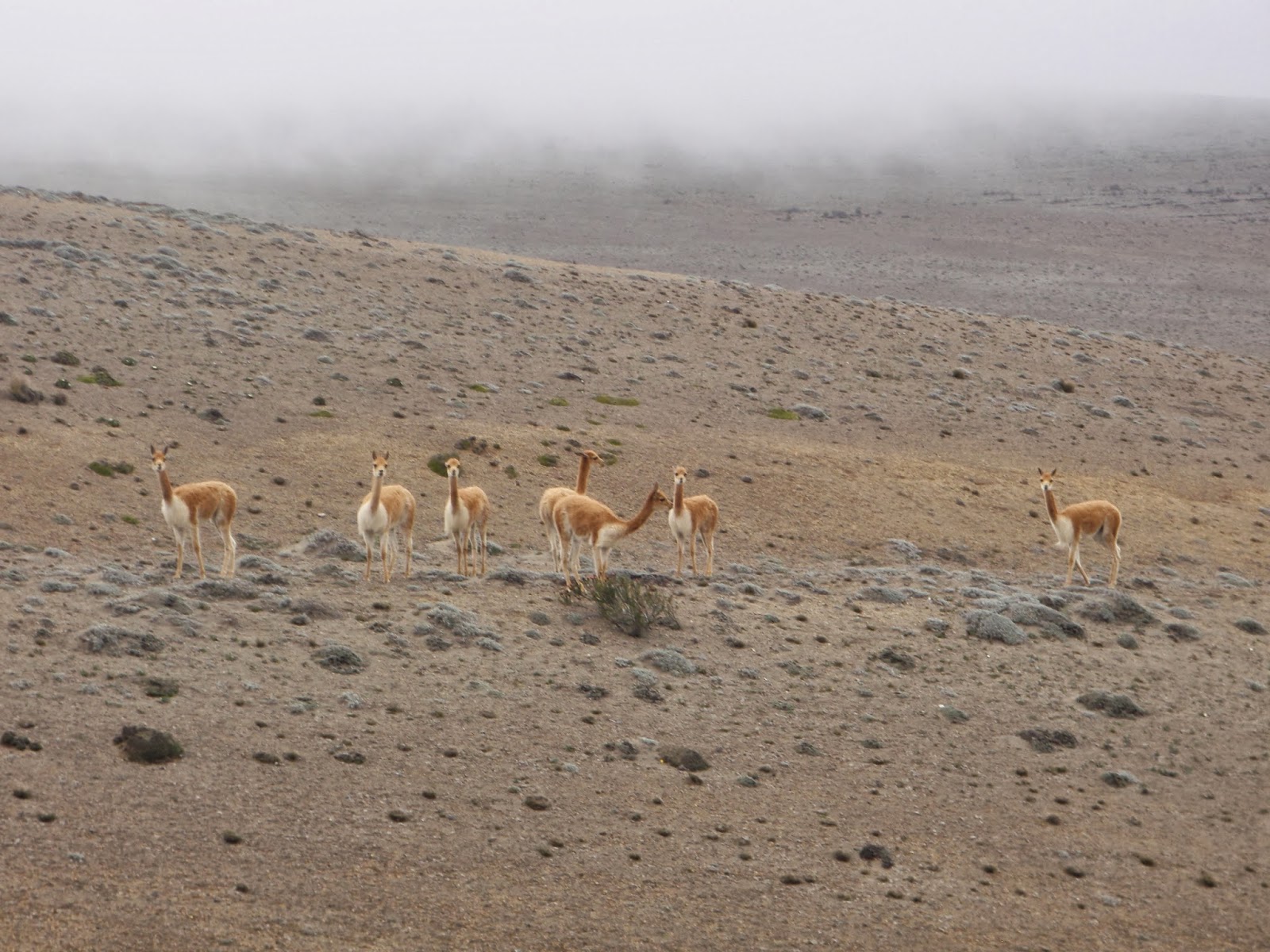
Vicuñas (a close relative of Llamas and Alpacas)
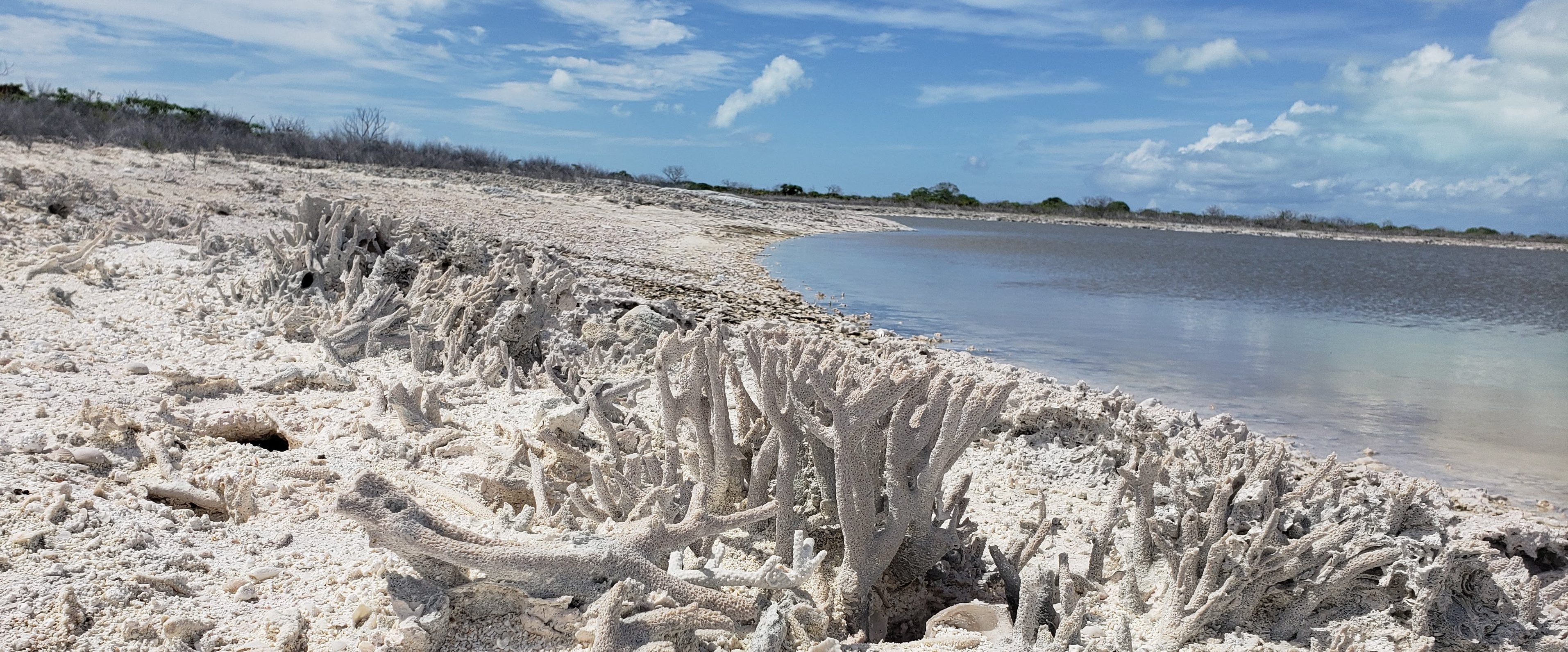
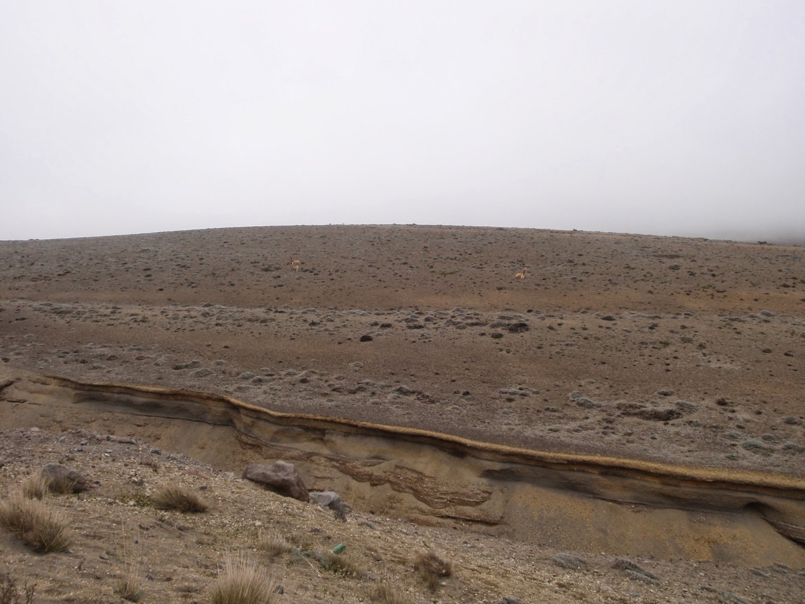
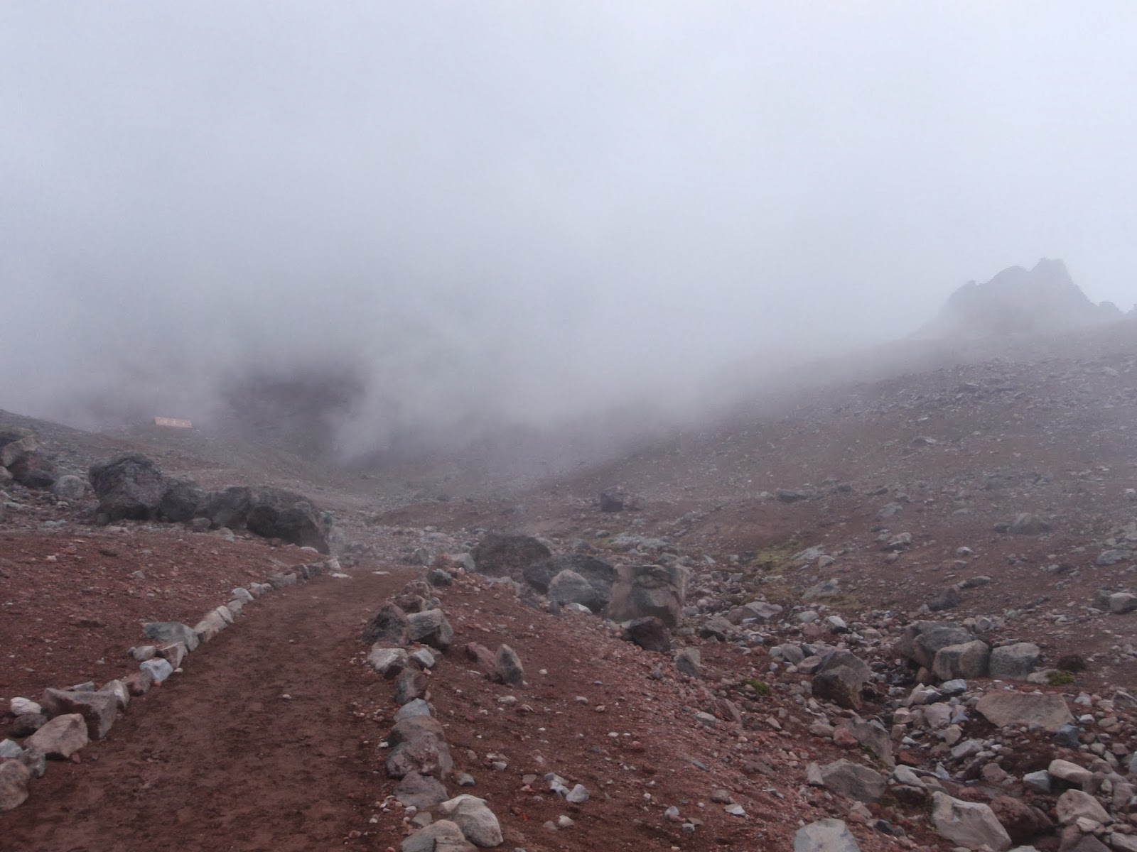
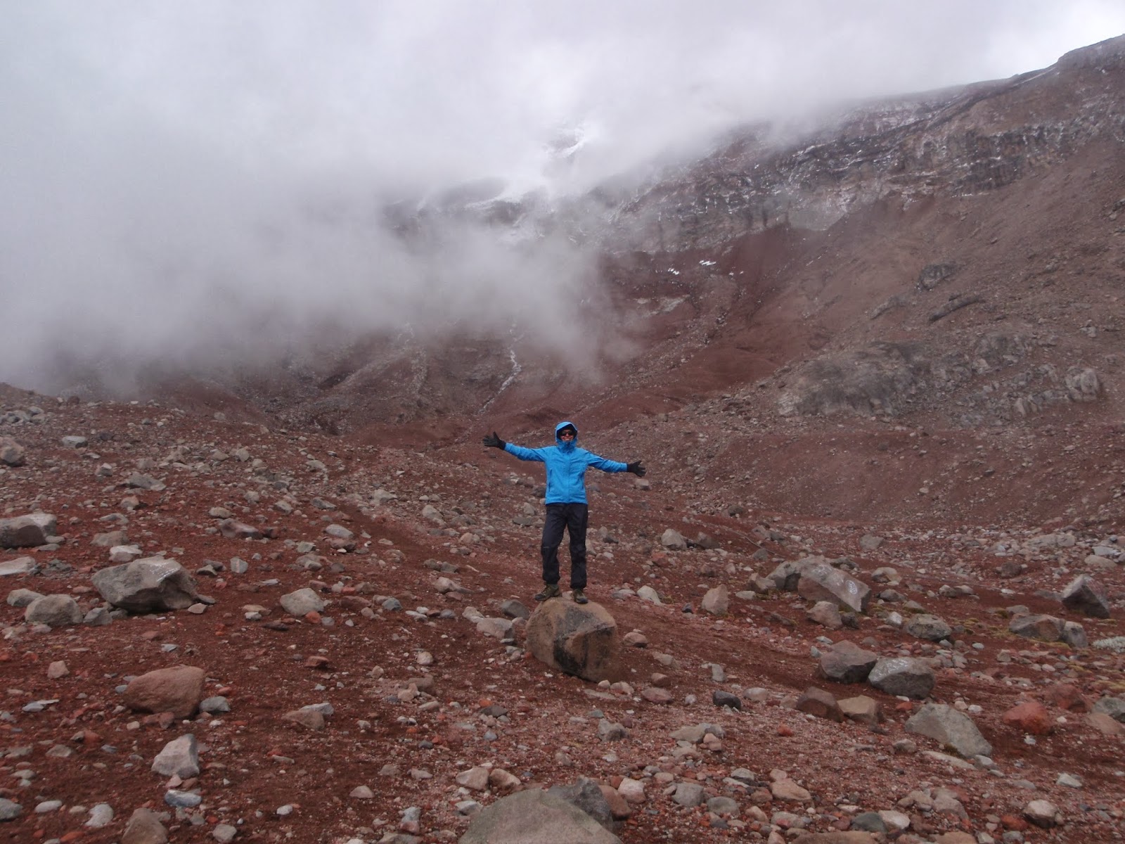
The barren volcanic landscape is almost reminiscent of mars…
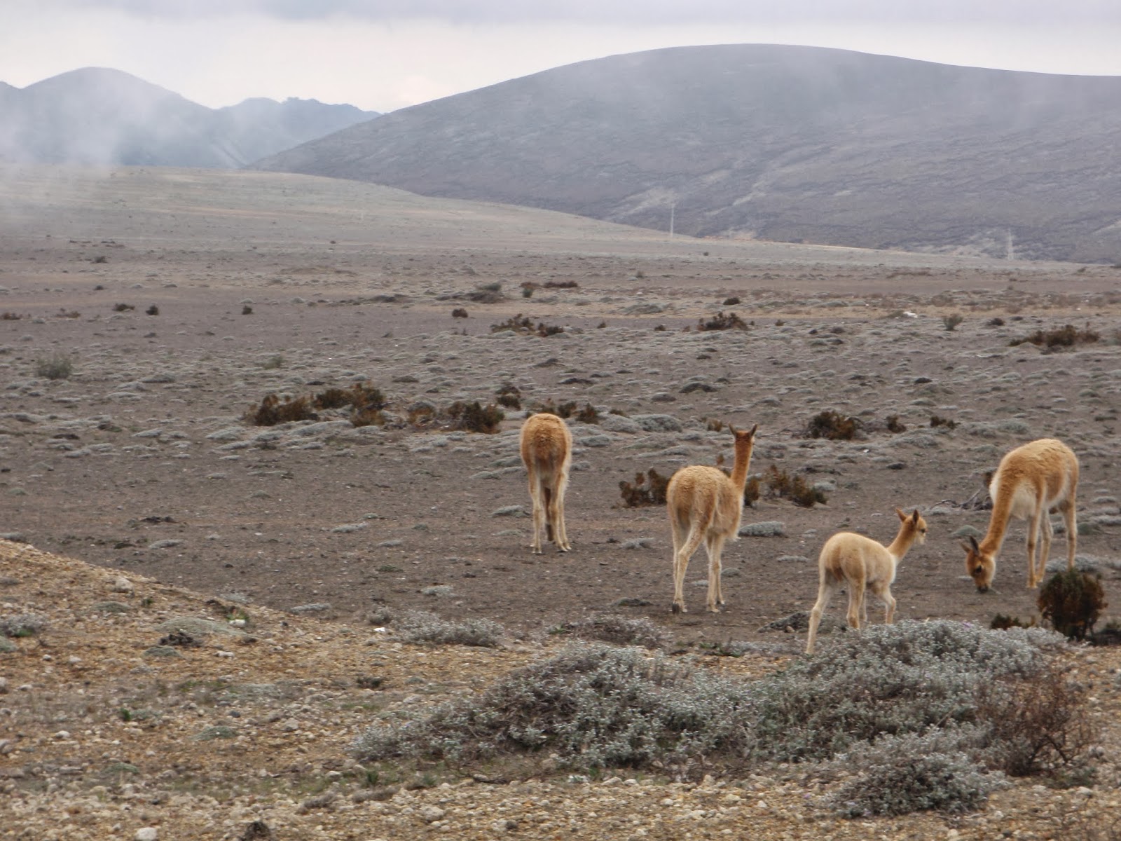
More Vicuñas…and a baby 🙂
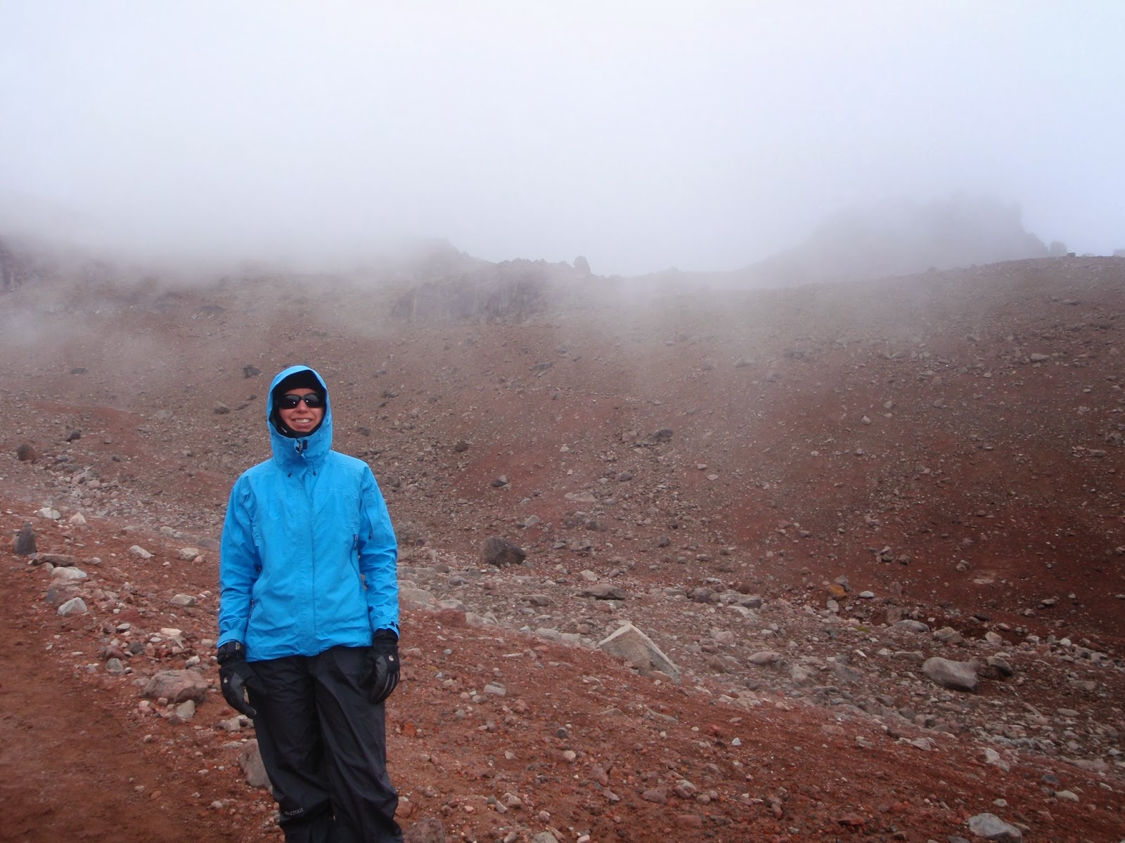
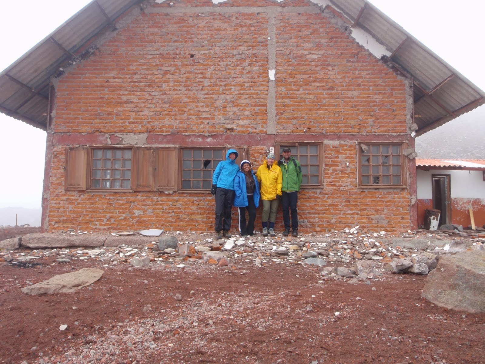
Hiked up to the Whymper Hut @ 5,000 m, but were not fortunate enough to get clear weather. ![]() The summit of Chimborazo is up ahead, I swear!
The summit of Chimborazo is up ahead, I swear!
 |
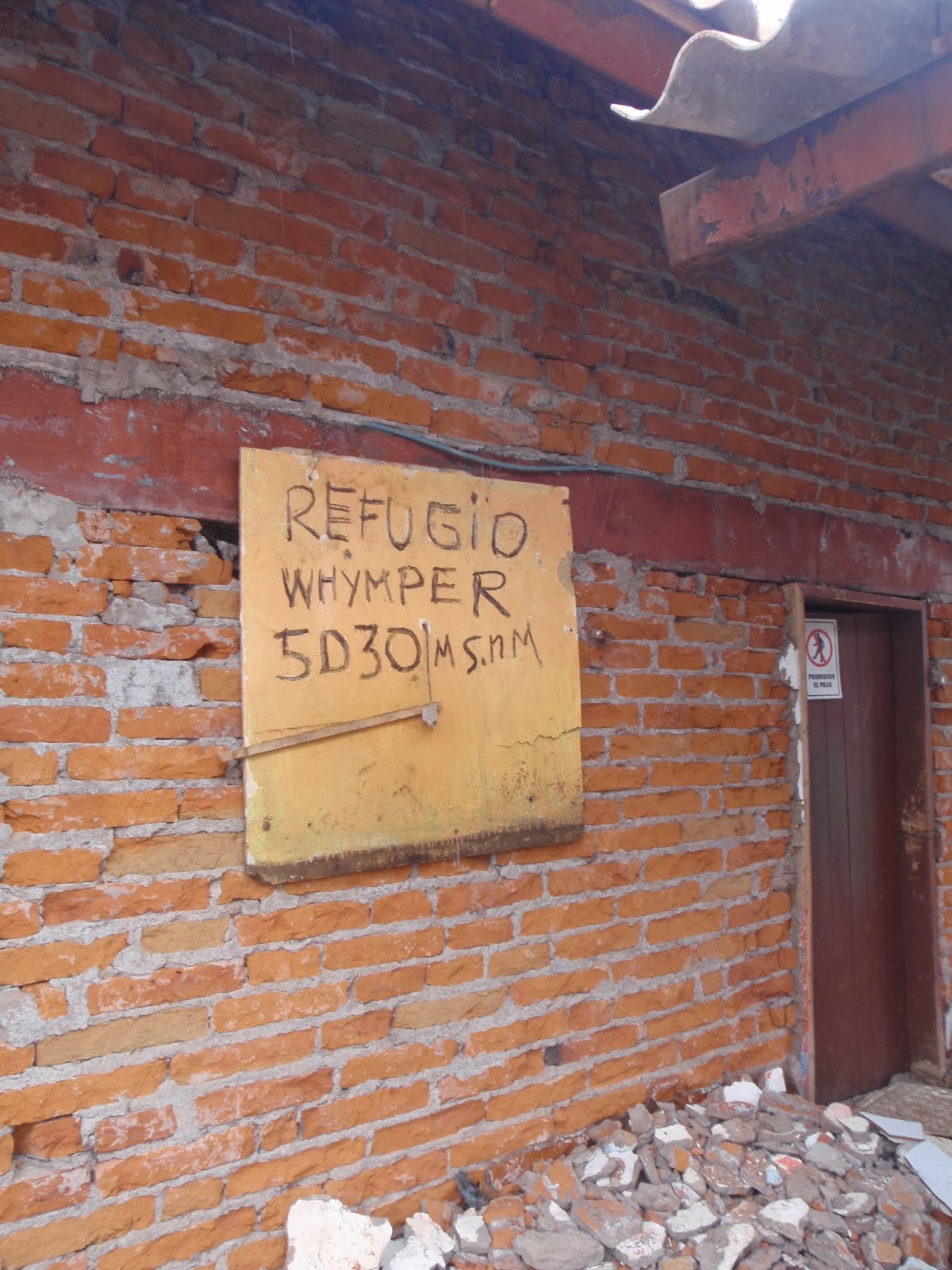
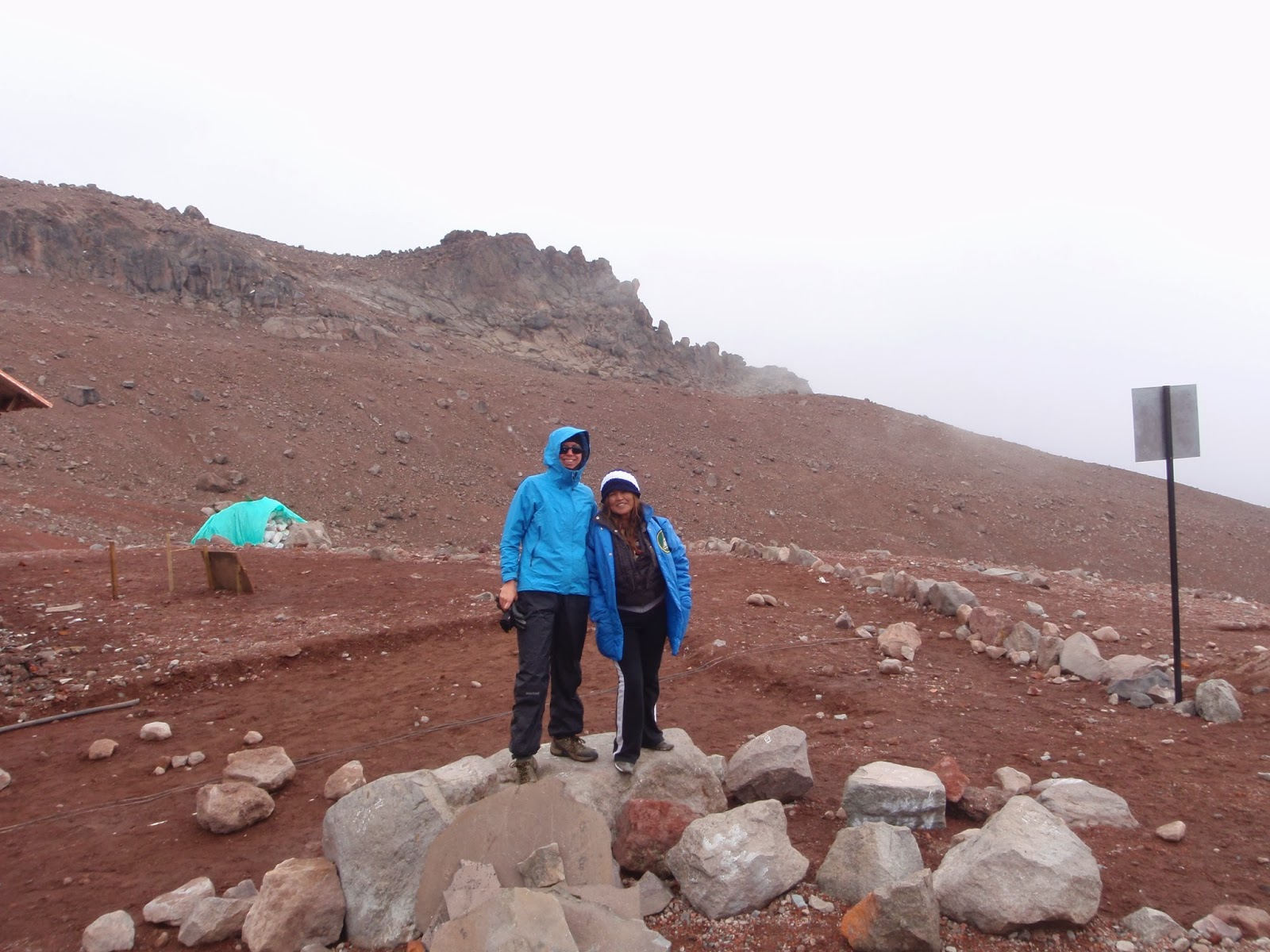
Whymper Hut, named after the guy who was the first to summit the volcano.

The highest altitude for me yet: ~16500 feet!
We made it!
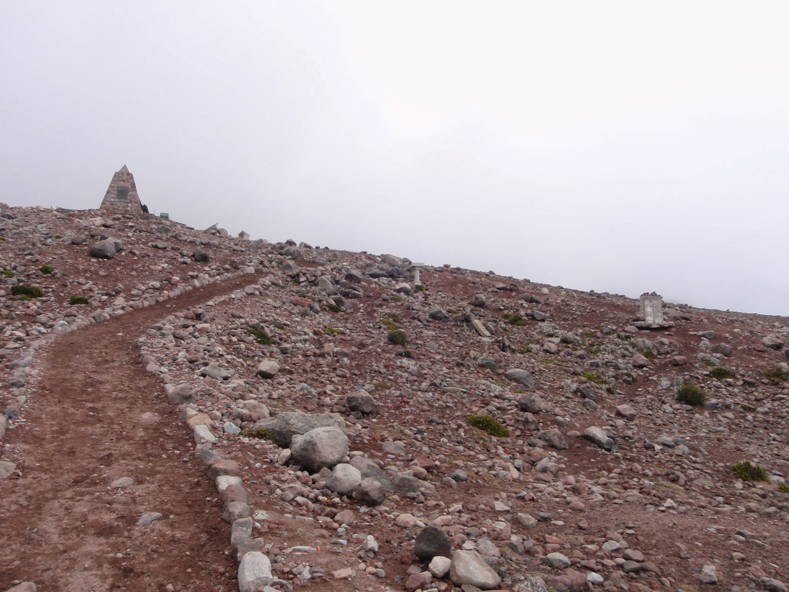
A slight break in the clouds and a glimpse the summit.
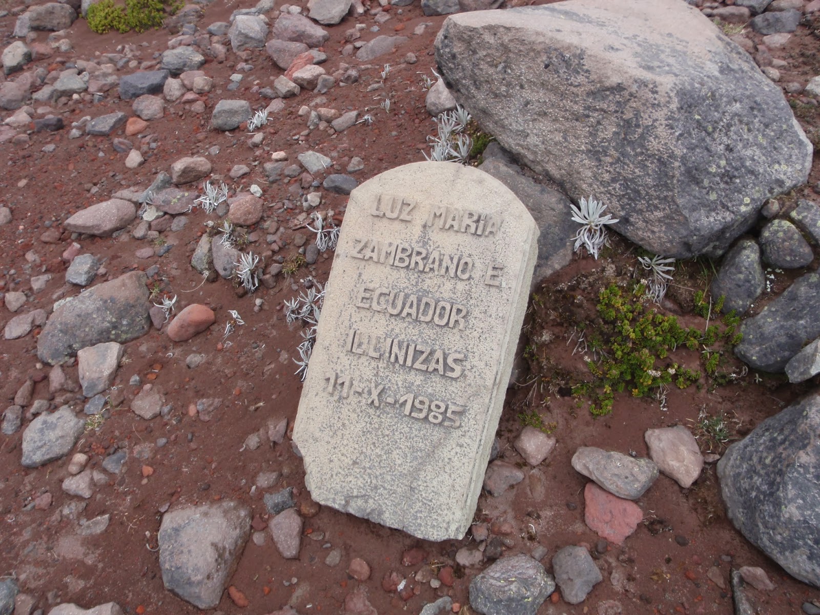
Dedications to all of the people who have lost their life on the mountain
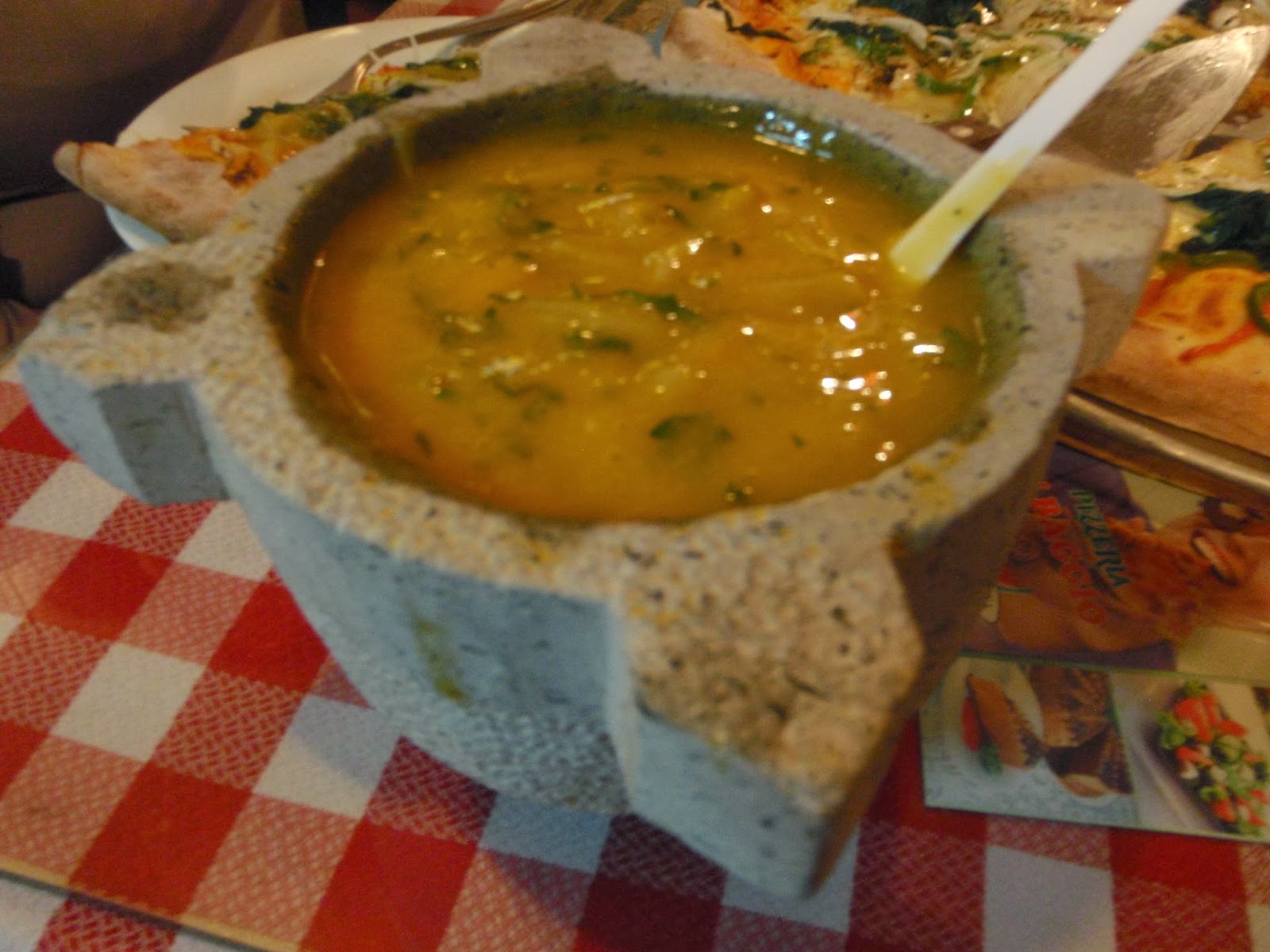
Hot soup, chocolate and sandwiches hit the spot after the cold hike!
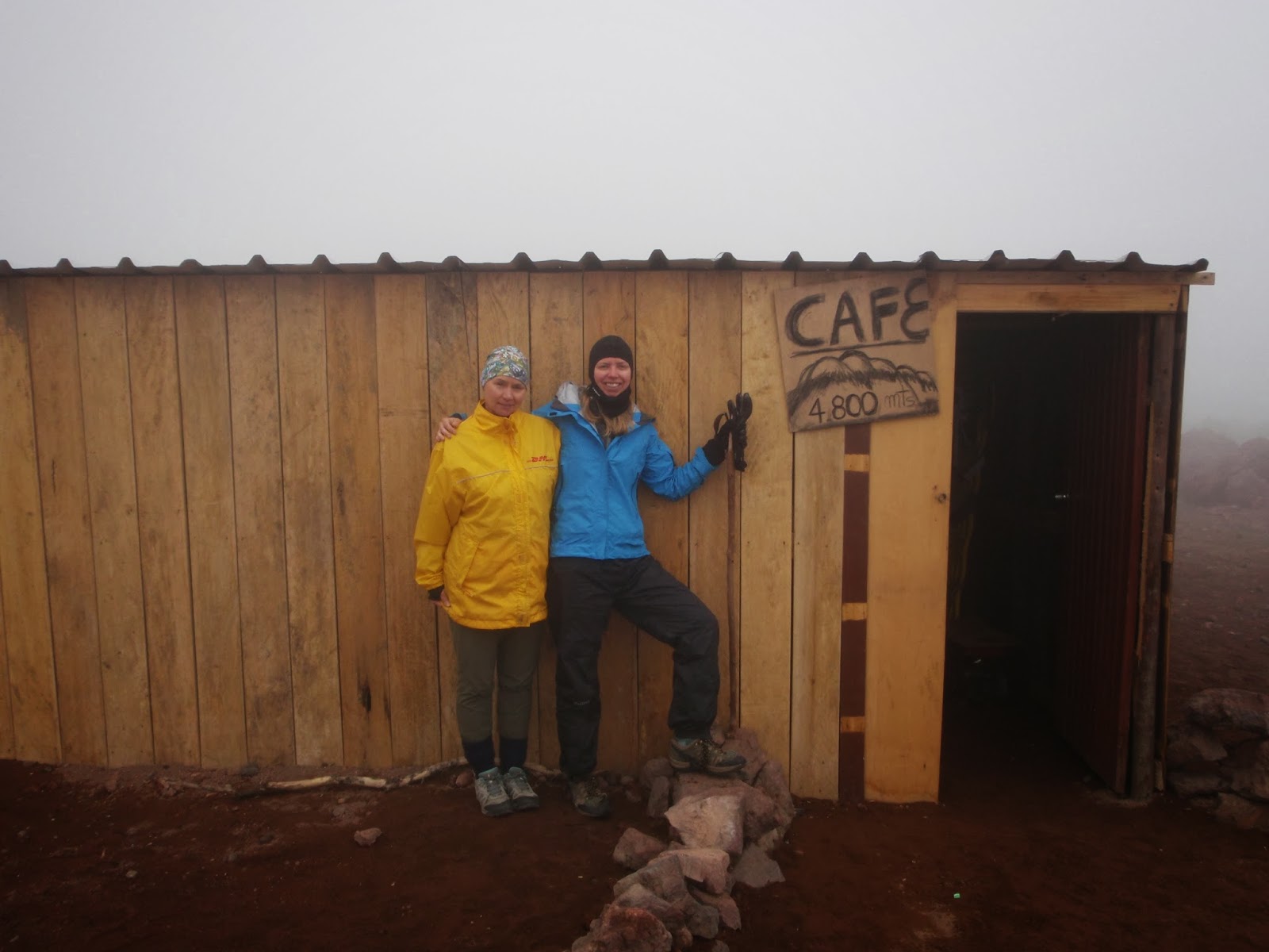
Our bike ride started at the Carrel Refuge at 4850 m (15,912 ft)
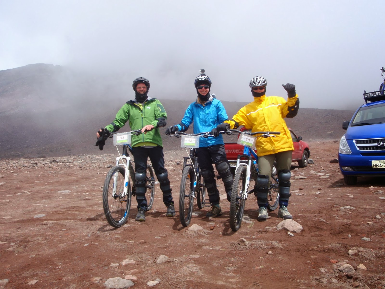
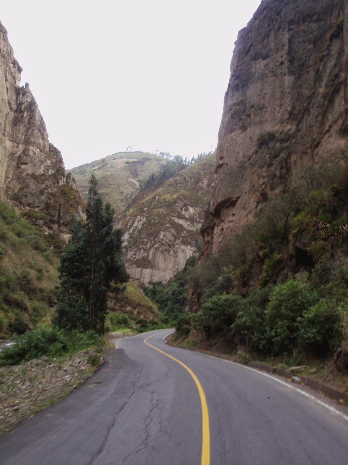
and continued down a former section of the Pan-American Highway!

And of course no Ecuadorian day would be complete without cerveza and Ají (which I discovered tonight even makes pizza better!)